Category Archives: Mt Katahdin Information

Complete information about Mount Katahdin in Millinocket, Maine, USA.

How to Climb Mt Katahdin: information

It was great to find this Mount Katahdin climbing information over at summitpost.org

Trails and hiking / climbing information about Baxter Peak, Mt. Katahdin.
Welcome to Baxter State Park – Climb Mount Katahdin.

Katahdin is most impressive from the south, a sheer-like granite fortress towering to the heights. It’s shape is somewhat horseshoe-like with the open end heading northeasterly. Click this link to see an excellent overview photo. There are 5 main peaks on the horseshoe, counterclockwise from the north they go: Howe Peak, Hamlin Peak, Baxter Peak (summit), South Peak and Pamola Peak….

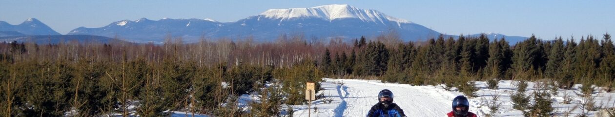
Katahdin is the highest mountain in Maine and the northern terminus of the Appalachian Trail. It is located within Baxter State Park, a wilderness-managed area in which humans come second that some refer to as the 51st state. The mountain, being a mile above sea level, towers above the comparatively low Maine lakes and forests. Due to the northerly latitude, timberline is at about 3,500 feet.

[more]

Summit of Mount Katahdin and Hike Down Abol Trail

Our long-awaited summit day finally comes, albeit two years later than we anticipated it would be! We leave Katahdin Stream parking and hike up the Hunt Trail to summit and then hike down the Abol Trail to the Abol Campground. Thanks so much for following along on this great adventure with us for these past three years!

Video: Climbing the Deadly Knife Edge of Mt. Katahdin

Premiered Feb 22, 2022 – In this video, we hike up to Baxter Peak, the top of Mt. Katahdin in Maine using the Helon Taylor Trail. The section called the knife edge is a narrow, rocky hike along the ridge of the peaks for about a mile in length and about 360 feet of elevation change.

About the Knife Edge on Mt Katahdin

The Knife Edge Trail on Mount Katahdin is truly a hiker’s most breathtaking feat. Serving as one of the most popular places to hike, Mount Katahdin translates to the “greatest mountain” in Penobscot. Standing tall at 5,269 feet, the mountain is adjacent to Katahdin Woods and Waters National Monument, a prominent site for hikers to visit in the region. And though there are a ton of beautiful mountains to visit in the U.S, what makes Mount Katahdin’s “Knife Edge Trail” so breathtaking are the views from the top.

Mount Katahdin is the highest mountain in the U.S. state of Maine at 5,269 feet. Named Katahdin, which means “Great Mountain”, by the Penobscot Native Americans, it is within Northeast Piscataquis, Piscataquis County, and is the centerpiece of Baxter State Park. Wikipedia

Elevation: 1,606 m

Prominence: 1,307 m

Mountain range: Appalachian Mountains

Coordinates: 45°54′16″N 68°55′17″W / 45.904354472°N 68.921274306°W

Easiest route: Hike, Abol Trail / Hunt Trail; 3.8 miles (6.1 km)

DjD – Keith Dionne | DJ, East Millinocket, ME

DjD - Keith Dionne, DJ in East Millinocket, Maine
DjD – Keith Dionne, DJ in East Millinocket, Maine

“I use Professional DJ Equipment for larger scale events using big names like JBL, Yamaha, and Crown! I have 2 complete set ups including 2 laptops on hand at all times for backup! From Weddings, Birthday Parties, Anniversaries, or any public or private event playing the music of your choice. Lighting is also available. I hope to hear from you for your next event.”

Call 207-447-1008

DjD Entertainment on FB

DjD - Keith Dionne, DJ in East Millinocket, Maine
DjD – Keith Dionne, DJ in East Millinocket, Maine